Ver Meadows
Introduction
The photograph on this page of Ver Meadows by Martin Addison as part of the Geograph project.
The Geograph project started in 2005 with the aim of publishing, organising and preserving representative images for every square kilometre of Great Britain, Ireland and the Isle of Man.

There are currently over 7.5m images from over 14,400 individuals and you can help contribute to the project by visiting https://www.geograph.org.uk
Ver Meadows
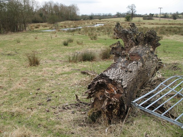
Image: © Martin Addison Taken: 9 Mar 2006
A decaying tree trunk and broken gate adorn the foreground of this view of Ver Meadows, an important example of chalkland watermeadow.
Images are licensed for reuse under creativecommons.org/licenses/by-sa/2.0
Image Location
Latitude
51.73544
Longitude
-0.330251