Track to the Machair
Introduction
The photograph on this page of Track to the Machair by Anne Burgess as part of the Geograph project.
The Geograph project started in 2005 with the aim of publishing, organising and preserving representative images for every square kilometre of Great Britain, Ireland and the Isle of Man.

There are currently over 7.5m images from over 14,400 individuals and you can help contribute to the project by visiting https://www.geograph.org.uk
Track to the Machair
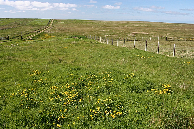
Image: © Anne Burgess Taken: 2 Jun 2009
The track on the left gives access from the east end of Siadar to the machair, eventually linking with Image
Images are licensed for reuse under creativecommons.org/licenses/by-sa/2.0
Image Location


Leaflet Map data © OpenStreetMap
Latitude
58.407315
Longitude
-6.466919