Footpath on site of former railway station, Aldeburgh
Introduction
The photograph on this page of Footpath on site of former railway station, Aldeburgh by John Goldsmith as part of the Geograph project.
The Geograph project started in 2005 with the aim of publishing, organising and preserving representative images for every square kilometre of Great Britain, Ireland and the Isle of Man.

There are currently over 7.5m images from over 14,400 individuals and you can help contribute to the project by visiting https://www.geograph.org.uk
Footpath on site of former railway station, Aldeburgh
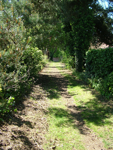
Image: © John Goldsmith Taken: 6 Jun 2009
A wall in Saxmundham Road can be seen at the end of the path. The path continues behind the photographer after crossing a new road.
Images are licensed for reuse under creativecommons.org/licenses/by-sa/2.0
Image Location
Latitude
52.156637
Longitude
1.593966