White Lodge
Introduction
The photograph on this page of White Lodge by David Anstiss as part of the Geograph project.
The Geograph project started in 2005 with the aim of publishing, organising and preserving representative images for every square kilometre of Great Britain, Ireland and the Isle of Man.

There are currently over 7.5m images from over 14,400 individuals and you can help contribute to the project by visiting https://www.geograph.org.uk
White Lodge
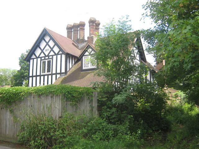
Image: © David Anstiss Taken: 7 Jun 2009
House built in 1871 on B2017 Five Oak Green Road. Was part of the Somerhill Park Estate. Now a separate house.
Images are licensed for reuse under creativecommons.org/licenses/by-sa/2.0
Image Location
Latitude
51.184594
Longitude
0.298986