Eastcote House coach house
Introduction
The photograph on this page of Eastcote House coach house by Marion Phillips as part of the Geograph project.
The Geograph project started in 2005 with the aim of publishing, organising and preserving representative images for every square kilometre of Great Britain, Ireland and the Isle of Man.

There are currently over 7.5m images from over 14,400 individuals and you can help contribute to the project by visiting https://www.geograph.org.uk
Eastcote House coach house
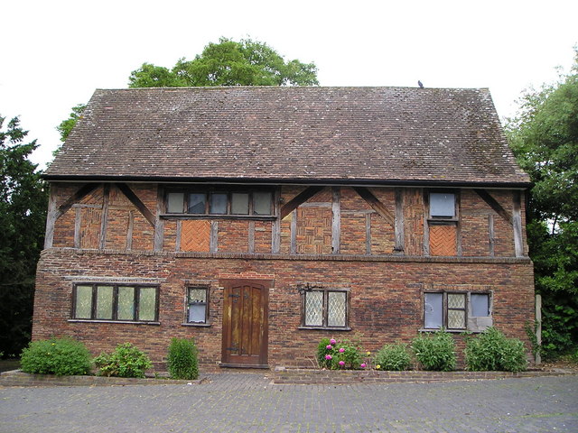
Image: © Marion Phillips Taken: 6 Jun 2009
This ancient brick and timber building was the coach house of Eastcote House, which was demolished in the 1960s. I was intrigued by the variety of ways in which the bricks had been laid between the timbers of the upper storey.
Images are licensed for reuse under creativecommons.org/licenses/by-sa/2.0
Image Location
Latitude
51.586997
Longitude
-0.402533