Demolition of 1960s office block
Introduction
The photograph on this page of Demolition of 1960s office block by John Goldsmith as part of the Geograph project.
The Geograph project started in 2005 with the aim of publishing, organising and preserving representative images for every square kilometre of Great Britain, Ireland and the Isle of Man.

There are currently over 7.5m images from over 14,400 individuals and you can help contribute to the project by visiting https://www.geograph.org.uk
Demolition of 1960s office block
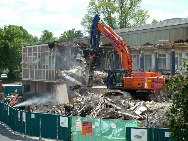
Image: © John Goldsmith Taken: 22 May 2005
Another St. Edmundsbury Council office demolished as part of the Public Service Village project. This was built as the offices of the Barber Greene road making machine works. The foundation stone is on Geograph. I am told the demolition operation has some problems associated with the way the office is tied into the building behind.
Images are licensed for reuse under creativecommons.org/licenses/by-sa/2.0
Image Location
Latitude
52.251443
Longitude
0.696754