Well Lane, Rastrick
Introduction
The photograph on this page of Well Lane, Rastrick by Humphrey Bolton as part of the Geograph project.
The Geograph project started in 2005 with the aim of publishing, organising and preserving representative images for every square kilometre of Great Britain, Ireland and the Isle of Man.

There are currently over 7.5m images from over 14,400 individuals and you can help contribute to the project by visiting https://www.geograph.org.uk
Well Lane, Rastrick
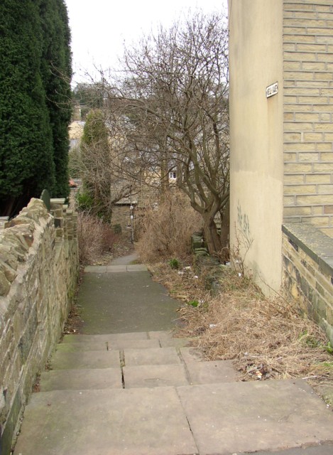
Image: © Humphrey Bolton Taken: 27 Feb 2006
This is a short footpath leading down from Thornhill Road to Castlefields Drive. The well was not down this path, but was on a former path alongside the next old wall to the south.
Images are licensed for reuse under creativecommons.org/licenses/by-sa/2.0
Image Location
Latitude
53.691925
Longitude
-1.791284