Road to Broom
Introduction
The photograph on this page of Road to Broom by David Stowell as part of the Geograph project.
The Geograph project started in 2005 with the aim of publishing, organising and preserving representative images for every square kilometre of Great Britain, Ireland and the Isle of Man.

There are currently over 7.5m images from over 14,400 individuals and you can help contribute to the project by visiting https://www.geograph.org.uk
Road to Broom
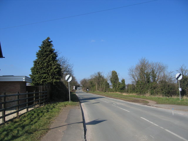
Image: © David Stowell Taken: 4 Mar 2006
Looking north from the edge of Bidford-on-Avon. The road rises in the distance over the bridge crossing the former Stratford & Midland Junction Railway. The signs on left are at the entrance to what used to be the entrance to Bidford Station.
Images are licensed for reuse under creativecommons.org/licenses/by-sa/2.0
Image Location
Latitude
52.173386
Longitude
-1.868351