A View of the A5003 (1)
Introduction
The photograph on this page of A View of the A5003 (1) by Chris' Buet as part of the Geograph project.
The Geograph project started in 2005 with the aim of publishing, organising and preserving representative images for every square kilometre of Great Britain, Ireland and the Isle of Man.

There are currently over 7.5m images from over 14,400 individuals and you can help contribute to the project by visiting https://www.geograph.org.uk
A View of the A5003 (1)
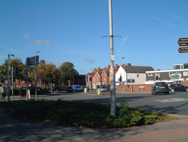
Image: © Chris' Buet Taken: 22 Oct 2008
This photograph shows a view of the A5003,which is the road that is going from left to right in the photograph. The road that meets the A5003 in the very right hand corner is the very end of Gungate road, as it merges with the A5003.
Images are licensed for reuse under creativecommons.org/licenses/by-sa/2.0
Image Location
Latitude
52.636146
Longitude
-1.69497