Paibeil and Ceann a'Bh?igh
Introduction
The photograph on this page of Paibeil and Ceann a'Bh?igh by Anne Burgess as part of the Geograph project.
The Geograph project started in 2005 with the aim of publishing, organising and preserving representative images for every square kilometre of Great Britain, Ireland and the Isle of Man.

There are currently over 7.5m images from over 14,400 individuals and you can help contribute to the project by visiting https://www.geograph.org.uk
Paibeil and Ceann a'Bh?igh
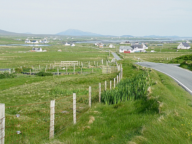
Image: © Anne Burgess Taken: 31 May 2009
One of the few points on the road round North Uist from which there is a high point with an extensive view is at Paibeil (Paible), looking down towards Ceann a'Bhàigh (Bayhead). In the distance is Eabhal (Eaval).
Images are licensed for reuse under creativecommons.org/licenses/by-sa/2.0
Image Location
Latitude
57.588859
Longitude
-7.450833