Marsh Lane Bridge at Fordhouses, Wolverhampton
Introduction
The photograph on this page of Marsh Lane Bridge at Fordhouses, Wolverhampton by Roger D Kidd as part of the Geograph project.
The Geograph project started in 2005 with the aim of publishing, organising and preserving representative images for every square kilometre of Great Britain, Ireland and the Isle of Man.

There are currently over 7.5m images from over 14,400 individuals and you can help contribute to the project by visiting https://www.geograph.org.uk
Marsh Lane Bridge at Fordhouses, Wolverhampton
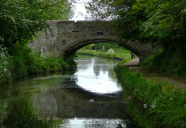
Image: © Roger D Kidd Taken: 19 May 2009
On the Staffordshire and Worcestershire Canal travelling south, this bridge marks the end of the gloomy tree enshrouded "narrows", much of which do not allow boats to pass each other. The bridge carries a public footpath between Marsh Lane (vehicular) and Pendeford Lane (footpath).
Images are licensed for reuse under creativecommons.org/licenses/by-sa/2.0
Image Location
Latitude
52.626297
Longitude
-2.139711