Ramsden flats
Introduction
The photograph on this page of Ramsden flats by Ian Capper as part of the Geograph project.
The Geograph project started in 2005 with the aim of publishing, organising and preserving representative images for every square kilometre of Great Britain, Ireland and the Isle of Man.

There are currently over 7.5m images from over 14,400 individuals and you can help contribute to the project by visiting https://www.geograph.org.uk
Ramsden flats
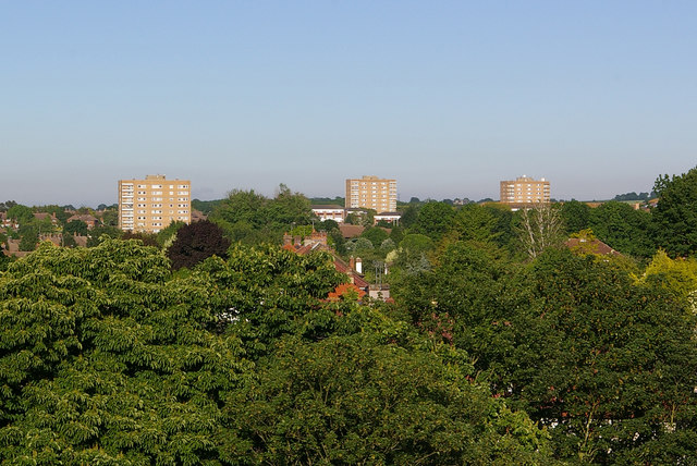
Image: © Ian Capper Taken: 29 May 2009
Viewed from the top of the Walnuts carpark. From left to right they are Crundale Tower, Hollingbourne Tower and Bekesbourne Tower.
Images are licensed for reuse under creativecommons.org/licenses/by-sa/2.0
Image Location
Latitude
51.376008
Longitude
0.122723