East Howe: bottom of Puck?s Dell
Introduction
The photograph on this page of East Howe: bottom of Puck?s Dell by Chris Downer as part of the Geograph project.
The Geograph project started in 2005 with the aim of publishing, organising and preserving representative images for every square kilometre of Great Britain, Ireland and the Isle of Man.

There are currently over 7.5m images from over 14,400 individuals and you can help contribute to the project by visiting https://www.geograph.org.uk
East Howe: bottom of Puck?s Dell
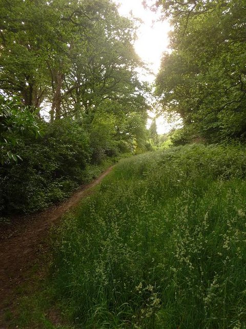
Image: © Chris Downer Taken: 5 Jun 2009
Looking along the path that runs along the bottom of Image, with back gardens of Elgar and Howeth Roads backing on to the left. This is the darkest part of the Dell, under the cover of large oak trees; on the northern side the grassland is in open air (see Image).
Images are licensed for reuse under creativecommons.org/licenses/by-sa/2.0
Image Location
Latitude
50.762283
Longitude
-1.89361