Footpath through the park
Introduction
The photograph on this page of Footpath through the park by Kate Jewell as part of the Geograph project.
The Geograph project started in 2005 with the aim of publishing, organising and preserving representative images for every square kilometre of Great Britain, Ireland and the Isle of Man.

There are currently over 7.5m images from over 14,400 individuals and you can help contribute to the project by visiting https://www.geograph.org.uk
Footpath through the park
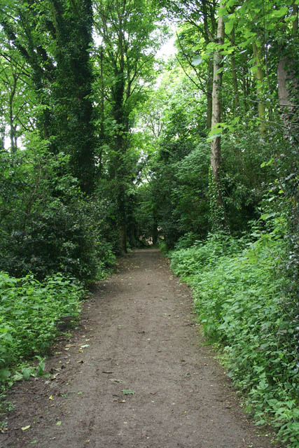
Image: © Kate Jewell Taken: 26 May 2009
Just west of Bestwood Lodge is an area of mature mixed woodland. A mixture of footpaths and bridleways give extensive public access.
Images are licensed for reuse under creativecommons.org/licenses/by-sa/2.0
Image Location
Latitude
53.012278
Longitude
-1.154576