A41 Kings Langley Bypass
Introduction
The photograph on this page of A41 Kings Langley Bypass by Nigel Cox as part of the Geograph project.
The Geograph project started in 2005 with the aim of publishing, organising and preserving representative images for every square kilometre of Great Britain, Ireland and the Isle of Man.

There are currently over 7.5m images from over 14,400 individuals and you can help contribute to the project by visiting https://www.geograph.org.uk
A41 Kings Langley Bypass
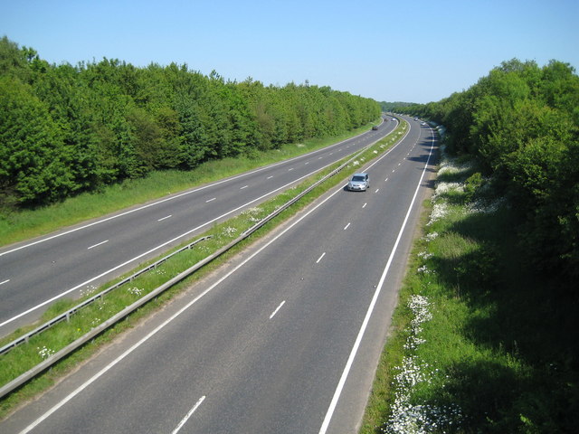
Image: © Nigel Cox Taken: 31 May 2009
Viewed from the Chipperfield Road bridge this dual carriageway was completed in 1993.
Images are licensed for reuse under creativecommons.org/licenses/by-sa/2.0
Image Location
Latitude
51.713746
Longitude
-0.467118