Ryde - Top of Church Lane
Introduction
The photograph on this page of Ryde - Top of Church Lane by Peter Trimming as part of the Geograph project.
The Geograph project started in 2005 with the aim of publishing, organising and preserving representative images for every square kilometre of Great Britain, Ireland and the Isle of Man.

There are currently over 7.5m images from over 14,400 individuals and you can help contribute to the project by visiting https://www.geograph.org.uk
Ryde - Top of Church Lane
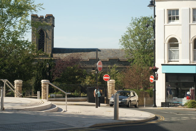
Image: © Peter Trimming Taken: 2 Jun 2009
Junctions of Church Lane with Melville Street and High Street. The Parish Church of St.Thomas is seen adjacent to Church Lane.
Images are licensed for reuse under creativecommons.org/licenses/by-sa/2.0
Image Location
Latitude
50.730283
Longitude
-1.162992