Signpost on Daniel Lane
Introduction
The photograph on this page of Signpost on Daniel Lane by Oliver Dixon as part of the Geograph project.
The Geograph project started in 2005 with the aim of publishing, organising and preserving representative images for every square kilometre of Great Britain, Ireland and the Isle of Man.

There are currently over 7.5m images from over 14,400 individuals and you can help contribute to the project by visiting https://www.geograph.org.uk
Signpost on Daniel Lane
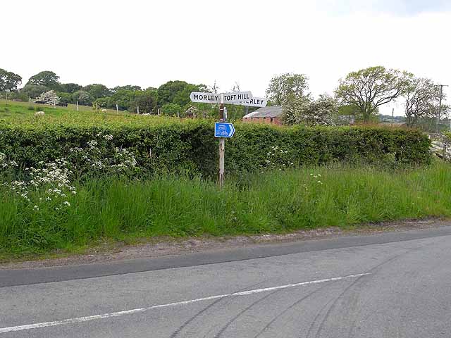
Image: © Oliver Dixon Taken: 2 Jun 2009
The blue cycleway sign refers to the W2W (Walney to Wear cycle route, National Cycle Network Regional route 20). Initially conceived as a southern "return" route for the famous C2C cycle route, there are alternative eastern termini at Wearmouth (Sunderland) and Whitby, whilst the western terminus is Walney Island (Barrow-in-Furness).
Images are licensed for reuse under creativecommons.org/licenses/by-sa/2.0
Image Location
Latitude
54.661966
Longitude
-1.809601