A321 Crossing
Introduction
The photograph on this page of A321 Crossing by don cload as part of the Geograph project.
The Geograph project started in 2005 with the aim of publishing, organising and preserving representative images for every square kilometre of Great Britain, Ireland and the Isle of Man.

There are currently over 7.5m images from over 14,400 individuals and you can help contribute to the project by visiting https://www.geograph.org.uk
A321 Crossing
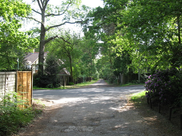
Image: © don cload Taken: 4 Jun 2009
This is the point where the byway crosses the A321. After this it changes to a public footpath.
Images are licensed for reuse under creativecommons.org/licenses/by-sa/2.0
Image Location
Latitude
51.385709
Longitude
-0.842842