House on Landsbank, High Lands
Introduction
The photograph on this page of House on Landsbank, High Lands by Oliver Dixon as part of the Geograph project.
The Geograph project started in 2005 with the aim of publishing, organising and preserving representative images for every square kilometre of Great Britain, Ireland and the Isle of Man.

There are currently over 7.5m images from over 14,400 individuals and you can help contribute to the project by visiting https://www.geograph.org.uk
House on Landsbank, High Lands
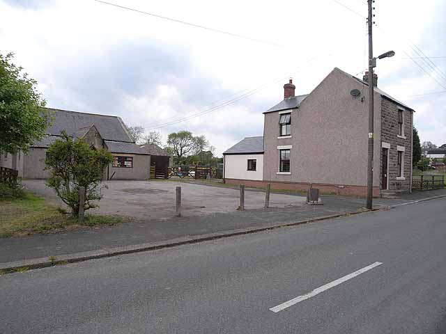
Image: © Oliver Dixon Taken: 2 Jun 2009
This house - formerly one of a terrace, but part of the terrace to the north has been demolished - was owned by my son in the 1990s. The house now bears the sign "Rabymar Cavaliers" - the present owners breed dogs. The building to the left is Lands Village Hall.
Images are licensed for reuse under creativecommons.org/licenses/by-sa/2.0
Image Location
Latitude
54.627264
Longitude
-1.801244