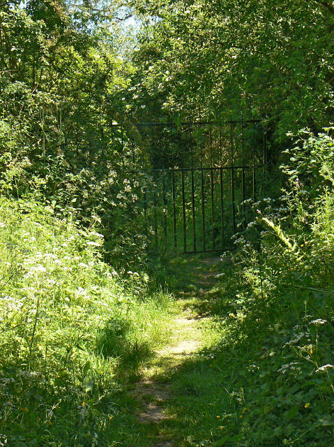
Entrance to The Delta
Introduction
The photograph on this page of Entrance to The Delta by Alan Murray-Rust as part of the Geograph project.
The Geograph project started in 2005 with the aim of publishing, organising and preserving representative images for every square kilometre of Great Britain, Ireland and the Isle of Man.
There are currently over 7.5m images from over 14,400 individuals and you can help contribute to the project by visiting https://www.geograph.org.uk

Image: © Alan Murray-Rust Taken: 1 Jun 2009
The Delta is an area of mature willow and alder carr and reed beds created by the discharge of fine silt from the cleaning of aggregates at the nearby works. It has always been protected from access by the public due to the unstable nature of the surface - quicksand, etc. - by leaving a wet moat around the area. This gate blocks the only way across the moat. Although the discharge no longer occurs in this area, it ensures that wildlife habitats are not disturbed. This area has always been a particular haunt of tree warblers.

