The Larne Road, Eden, Carrickfergus
Introduction
The photograph on this page of The Larne Road, Eden, Carrickfergus by Albert Bridge as part of the Geograph project.
The Geograph project started in 2005 with the aim of publishing, organising and preserving representative images for every square kilometre of Great Britain, Ireland and the Isle of Man.

There are currently over 7.5m images from over 14,400 individuals and you can help contribute to the project by visiting https://www.geograph.org.uk
The Larne Road, Eden, Carrickfergus
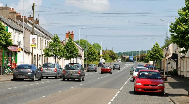
Image: © Albert Bridge Taken: 3 Jun 2009
Once a separate village (with its own railway station - now closed), Eden is now almost indistinguishable from Carrickfergus. The view is towards Larne.
Images are licensed for reuse under creativecommons.org/licenses/by-sa/2.0
Image Location
Latitude
54.726881
Longitude
-5.777699