Disused quarry west of Leahill
Introduction
The photograph on this page of Disused quarry west of Leahill by Mike Quinn as part of the Geograph project.
The Geograph project started in 2005 with the aim of publishing, organising and preserving representative images for every square kilometre of Great Britain, Ireland and the Isle of Man.

There are currently over 7.5m images from over 14,400 individuals and you can help contribute to the project by visiting https://www.geograph.org.uk
Disused quarry west of Leahill
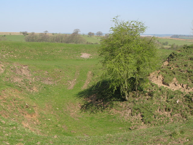
Image: © Mike Quinn Taken: 20 Apr 2009
The line of the north defensive ditch of Hadrian's Wall runs (left to right) through the quarry; the Wall itself lies under the minor road from Banks to Birdoswald.
Images are licensed for reuse under creativecommons.org/licenses/by-sa/2.0
Image Location
Latitude
54.978194
Longitude
-2.656016