Bargate Rd, Belper
Introduction
The photograph on this page of Bargate Rd, Belper by Ian Tilley as part of the Geograph project.
The Geograph project started in 2005 with the aim of publishing, organising and preserving representative images for every square kilometre of Great Britain, Ireland and the Isle of Man.

There are currently over 7.5m images from over 14,400 individuals and you can help contribute to the project by visiting https://www.geograph.org.uk
Bargate Rd, Belper
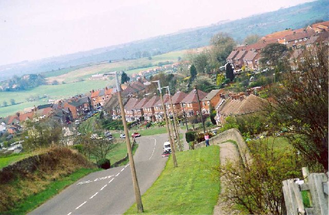
Image: © Ian Tilley Taken: Unknown
This is looking North West along Bargate Rd with the edge of Parks Estate to the right (an ancient deer park). A few hundred metres down the hill you can see over the township of Belper. This was the home of the Strutt family dynasty and their cotton mills.
Images are licensed for reuse under creativecommons.org/licenses/by-sa/2.0
Image Location


Leaflet Map data © OpenStreetMap
Latitude
53.015545
Longitude
-1.475275