Meadows near Chippenham
Introduction
The photograph on this page of Meadows near Chippenham by Derek Harper as part of the Geograph project.
The Geograph project started in 2005 with the aim of publishing, organising and preserving representative images for every square kilometre of Great Britain, Ireland and the Isle of Man.

There are currently over 7.5m images from over 14,400 individuals and you can help contribute to the project by visiting https://www.geograph.org.uk
Meadows near Chippenham
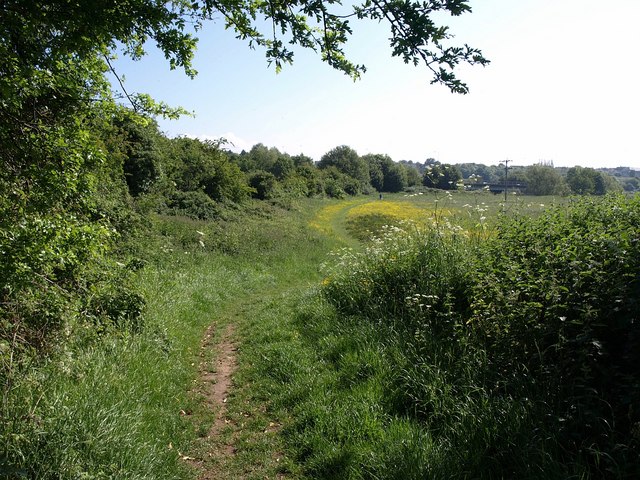
Image: © Derek Harper Taken: 29 May 2009
Dog-walking territory in the Avon valley; the nearby public footpath northwards seems hardly used. In the distance is the bridge carrying the A4 across the river.
Images are licensed for reuse under creativecommons.org/licenses/by-sa/2.0
Image Location
Latitude
51.452861
Longitude
-2.119255