Kings Langley: The Nap
Introduction
The photograph on this page of Kings Langley: The Nap by Nigel Cox as part of the Geograph project.
The Geograph project started in 2005 with the aim of publishing, organising and preserving representative images for every square kilometre of Great Britain, Ireland and the Isle of Man.

There are currently over 7.5m images from over 14,400 individuals and you can help contribute to the project by visiting https://www.geograph.org.uk
Kings Langley: The Nap
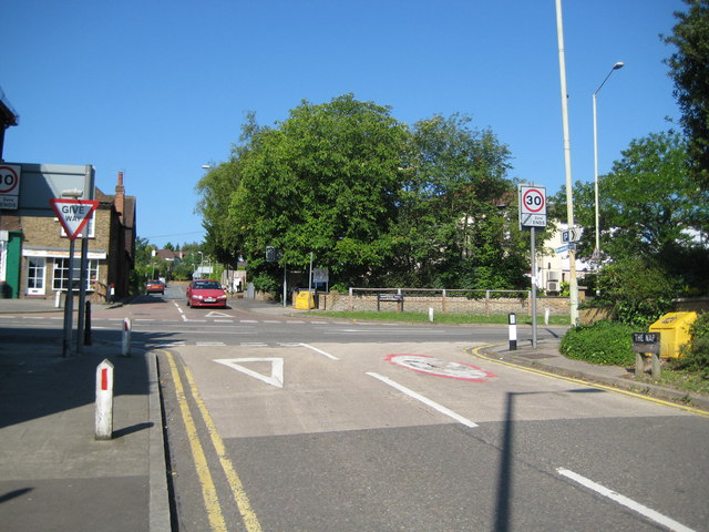
Image: © Nigel Cox Taken: 31 May 2009
The Ordnance Survey 6" to the mile map of 1883 shows this road as the intriguingly named "The Nap", leading down from the High Street via Mill Lane to Langley Waterside. A street nameboard can just be seen in front of the yellow salt bin on the right.
Images are licensed for reuse under creativecommons.org/licenses/by-sa/2.0
Image Location
Latitude
51.714065
Longitude
-0.450316