Way to the station
Introduction
The photograph on this page of Way to the station by Bill Nicholls as part of the Geograph project.
The Geograph project started in 2005 with the aim of publishing, organising and preserving representative images for every square kilometre of Great Britain, Ireland and the Isle of Man.

There are currently over 7.5m images from over 14,400 individuals and you can help contribute to the project by visiting https://www.geograph.org.uk
Way to the station
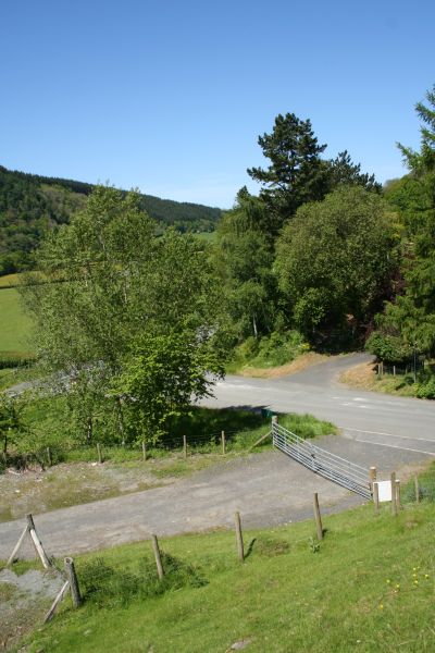
Image: © Bill Nicholls Taken: 24 May 2009
The railway would have run across here and on through where the trees are to Aberedw station, which no longer exists, but would have been 100 metres or so further along from here.
Images are licensed for reuse under creativecommons.org/licenses/by-sa/2.0
Image Location
Latitude
52.11806
Longitude
-3.351636