Staffordshire and Worcestershire Canal east of Coven, Staffordshire
Introduction
The photograph on this page of Staffordshire and Worcestershire Canal east of Coven, Staffordshire by Roger D Kidd as part of the Geograph project.
The Geograph project started in 2005 with the aim of publishing, organising and preserving representative images for every square kilometre of Great Britain, Ireland and the Isle of Man.

There are currently over 7.5m images from over 14,400 individuals and you can help contribute to the project by visiting https://www.geograph.org.uk
Staffordshire and Worcestershire Canal east of Coven, Staffordshire
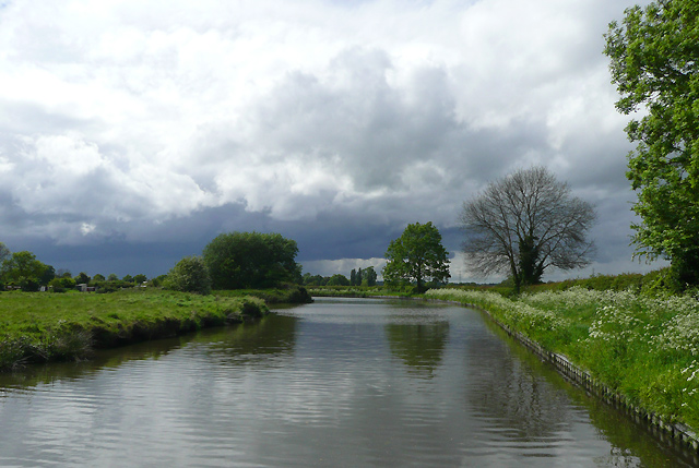
Image: © Roger D Kidd Taken: 19 May 2009
The canal was opened in 1772 having been engineered by James Brindley. In these days of cruising and leisure boating, the 46 miles length with its 43 locks (45 if you take the narrow options at Stourport) is one of the most attractive and popular canals in England. We dodged that rain cloud very successfully.
Images are licensed for reuse under creativecommons.org/licenses/by-sa/2.0
Image Location
Latitude
52.657601
Longitude
-2.12207