Fforddlas, Prestatyn
Introduction
The photograph on this page of Fforddlas, Prestatyn by Chris Heaton as part of the Geograph project.
The Geograph project started in 2005 with the aim of publishing, organising and preserving representative images for every square kilometre of Great Britain, Ireland and the Isle of Man.

There are currently over 7.5m images from over 14,400 individuals and you can help contribute to the project by visiting https://www.geograph.org.uk
Fforddlas, Prestatyn
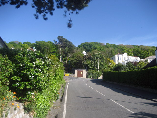
Image: © Chris Heaton Taken: 12 May 2009
The Offa's Dyke National Trail adopts this road after descending down from the Prestatyn Hillside Nature Reserve, and following a straight course to the sea front.
Images are licensed for reuse under creativecommons.org/licenses/by-sa/2.0
Image Location
Latitude
53.329078
Longitude
-3.395776