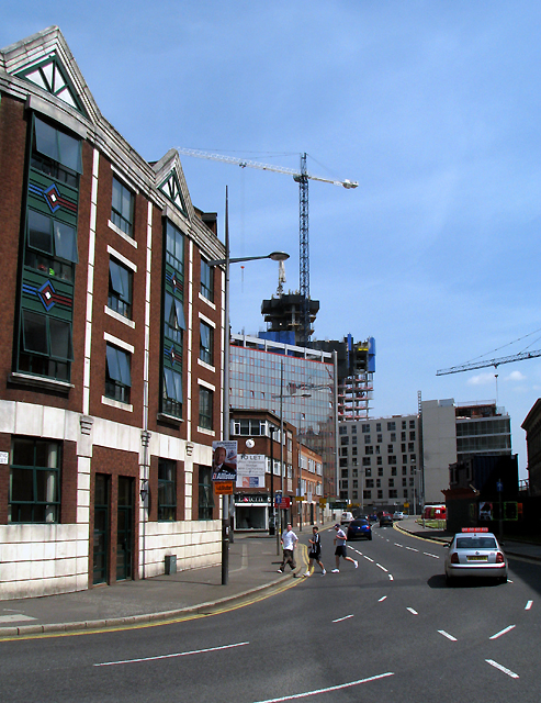
Waring Street, Belfast
Introduction
The photograph on this page of Waring Street, Belfast by Rossographer as part of the Geograph project.
The Geograph project started in 2005 with the aim of publishing, organising and preserving representative images for every square kilometre of Great Britain, Ireland and the Isle of Man.
There are currently over 7.5m images from over 14,400 individuals and you can help contribute to the project by visiting https://www.geograph.org.uk

Image: © Rossographer Taken: 2 Jun 2009
Most of Waring Street in Belfast lies behind the camera position, but the foreground here comprises the upper portion which then runs into Albert Square and Donegall Quay Image In the late 18th and early 19th centuries this portion of the street was a dock - known as Salthouse Dock until c1791 when the name changed to Lime Kiln Dock - formed out of a creek which once flowed here into the River Lagan. The dock itself would have been on the western bank of the Lagan but the river has now been pushed back and is hidden by the buildings at the top of picture, which include the fast rising 'Obel' site - see http://www.geograph.org.uk/search.php?i=6601308 . The dock is still shown on maps of 1826 but appears to have been infilled by c1849. See also Image Waring Street is named after a Thomas Waring, a prominent trader of the mid 17th Century who once had a tannery in the street (the County Down town Waringstown http://www.geograph.org.uk/search.php?i=6601360 is named after the family).

