Bredbury St Marks Cricket Club
Introduction
The photograph on this page of Bredbury St Marks Cricket Club by AP as part of the Geograph project.
The Geograph project started in 2005 with the aim of publishing, organising and preserving representative images for every square kilometre of Great Britain, Ireland and the Isle of Man.

There are currently over 7.5m images from over 14,400 individuals and you can help contribute to the project by visiting https://www.geograph.org.uk
Bredbury St Marks Cricket Club
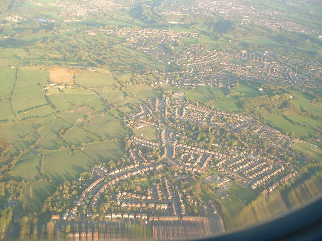
Image: © AP Taken: 1 Jan 2001
Aerial shot centring on Bredbury St Marks Cricket Club showing Pennine Road Woodley in the foreground and the villages of Greave and Romiley in the background.
Images are licensed for reuse under creativecommons.org/licenses/by-sa/2.0
Image Location
Latitude
53.42755
Longitude
-2.085442