Cycleway on the former Whelley Loop Line
Introduction
The photograph on this page of Cycleway on the former Whelley Loop Line by David Long as part of the Geograph project.
The Geograph project started in 2005 with the aim of publishing, organising and preserving representative images for every square kilometre of Great Britain, Ireland and the Isle of Man.

There are currently over 7.5m images from over 14,400 individuals and you can help contribute to the project by visiting https://www.geograph.org.uk
Cycleway on the former Whelley Loop Line
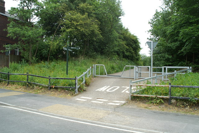
Image: © David Long Taken: 3 Jun 2009
The line was an avoiding line for the West Coast Main Line, by-passing Wigan. It left the WCML south of Springs Branch sheds, and rejoined it south of Standish. For much of its length it is now a cycling route. From the green fingerpost sign in the pic, giving cycling times from here to various points around, there would appear to be a cycling network in the Borough, but it is little publicised.
Images are licensed for reuse under creativecommons.org/licenses/by-sa/2.0
Image Location
Latitude
53.547619
Longitude
-2.595798