Council housing, Chapel Croft, Rastrick (SE 138 213)
Introduction
The photograph on this page of Council housing, Chapel Croft, Rastrick (SE 138 213) by Humphrey Bolton as part of the Geograph project.
The Geograph project started in 2005 with the aim of publishing, organising and preserving representative images for every square kilometre of Great Britain, Ireland and the Isle of Man.

There are currently over 7.5m images from over 14,400 individuals and you can help contribute to the project by visiting https://www.geograph.org.uk
Council housing, Chapel Croft, Rastrick (SE 138 213)
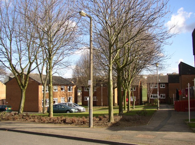
Image: © Humphrey Bolton Taken: 2 Mar 2006
This is a very pleasant council estate, with houses grouped around areas of grass and trees, and an open area of playing fields behind.
Images are licensed for reuse under creativecommons.org/licenses/by-sa/2.0
Image Location


Leaflet Map data © OpenStreetMap
Latitude
53.687973
Longitude
-1.792515