Stratford Road, Longbridge
Introduction
The photograph on this page of Stratford Road, Longbridge by David Stowell as part of the Geograph project.
The Geograph project started in 2005 with the aim of publishing, organising and preserving representative images for every square kilometre of Great Britain, Ireland and the Isle of Man.

There are currently over 7.5m images from over 14,400 individuals and you can help contribute to the project by visiting https://www.geograph.org.uk
Stratford Road, Longbridge
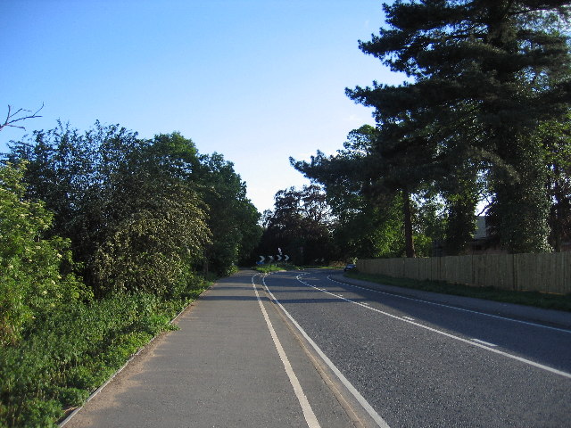
Image: © David Stowell Taken: 28 May 2005
The bend in the middle distance, actually on the boundary with the next square, marks the point at which the Stratford upon Avon Road used to fork right with the route straight ahead leading to Wellesbourne. With the coming of the M40 the roads were re-aligned and now all through traffic bear right at this point.
Images are licensed for reuse under creativecommons.org/licenses/by-sa/2.0
Image Location


Leaflet Map data © OpenStreetMap
Latitude
52.261807
Longitude
-1.605823