Allotments and Health Centre off Chapel Croft, Rastrick (SE 137 213)
Introduction
The photograph on this page of Allotments and Health Centre off Chapel Croft, Rastrick (SE 137 213) by Humphrey Bolton as part of the Geograph project.
The Geograph project started in 2005 with the aim of publishing, organising and preserving representative images for every square kilometre of Great Britain, Ireland and the Isle of Man.

There are currently over 7.5m images from over 14,400 individuals and you can help contribute to the project by visiting https://www.geograph.org.uk
Allotments and Health Centre off Chapel Croft, Rastrick (SE 137 213)
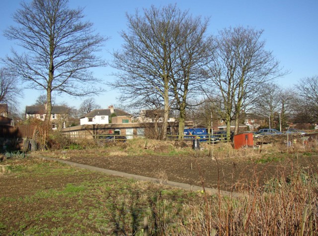
Image: © Humphrey Bolton Taken: 3 Mar 2006
A concrete track runs alongside the allotments, giving access via a gate. From here the Health Centre, a flat-roofed building typical of the 1960s to 80s, can be seen, with houses fronting onto Crowtrees Lane beyond.
Images are licensed for reuse under creativecommons.org/licenses/by-sa/2.0
Image Location
Latitude
53.687975
Longitude
-1.794029