Footpath along the railway track
Introduction
The photograph on this page of Footpath along the railway track by Alan Murray-Rust as part of the Geograph project.
The Geograph project started in 2005 with the aim of publishing, organising and preserving representative images for every square kilometre of Great Britain, Ireland and the Isle of Man.

There are currently over 7.5m images from over 14,400 individuals and you can help contribute to the project by visiting https://www.geograph.org.uk
Footpath along the railway track
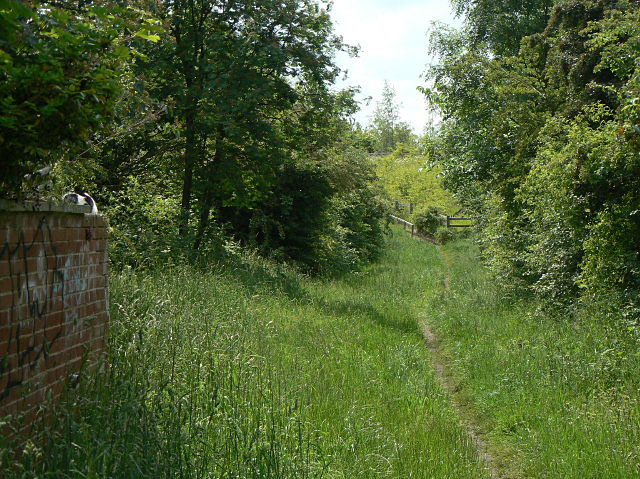
Image: © Alan Murray-Rust Taken: 29 May 2009
Looking towards Ruddington Lane on the embankment at the end. The proposed tram route to Clifton will come along here and will be slightly raised to make a level crossing with the road which will be lowered by some 2.4 metres. This will be the site for a tram stop.
Images are licensed for reuse under creativecommons.org/licenses/by-sa/2.0
Image Location
Latitude
52.914572
Longitude
-1.158546