Kings Langley: The Church House
Introduction
The photograph on this page of Kings Langley: The Church House by Nigel Cox as part of the Geograph project.
The Geograph project started in 2005 with the aim of publishing, organising and preserving representative images for every square kilometre of Great Britain, Ireland and the Isle of Man.

There are currently over 7.5m images from over 14,400 individuals and you can help contribute to the project by visiting https://www.geograph.org.uk
Kings Langley: The Church House
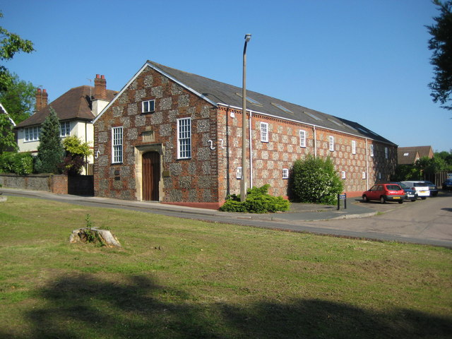
Image: © Nigel Cox Taken: 31 May 2009
The Church House is on the other side of Church Lane to Image, and was built in 1826. The chequered patterns on the elvations have been created by using brick and flints. The building is currently in use as offices.
Images are licensed for reuse under creativecommons.org/licenses/by-sa/2.0
Image Location
Latitude
51.711426
Longitude
-0.447945