Distant view of All Saints Church, Sherbourne
Introduction
The photograph on this page of Distant view of All Saints Church, Sherbourne by David Stowell as part of the Geograph project.
The Geograph project started in 2005 with the aim of publishing, organising and preserving representative images for every square kilometre of Great Britain, Ireland and the Isle of Man.

There are currently over 7.5m images from over 14,400 individuals and you can help contribute to the project by visiting https://www.geograph.org.uk
Distant view of All Saints Church, Sherbourne
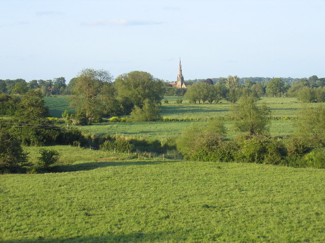
Image: © David Stowell Taken: 28 May 2005
Seen from near the middle of this square, with the course of the River Avon marked by the bushes as it meanders across the fields.
Images are licensed for reuse under creativecommons.org/licenses/by-sa/2.0
Image Location


Leaflet Map data © OpenStreetMap
Latitude
52.240307
Longitude
-1.629445