Road, Rail, Canal
Introduction
The photograph on this page of Road, Rail, Canal by Tony Atkin as part of the Geograph project.
The Geograph project started in 2005 with the aim of publishing, organising and preserving representative images for every square kilometre of Great Britain, Ireland and the Isle of Man.

There are currently over 7.5m images from over 14,400 individuals and you can help contribute to the project by visiting https://www.geograph.org.uk
Road, Rail, Canal
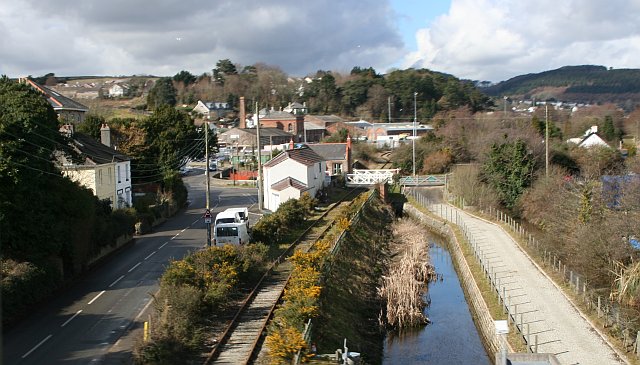
Image: © Tony Atkin Taken: 5 Mar 2006
Transportation links of various vintages running parallel towards the industrial waterfront at Par. This photograph was taken from a train on the main railway line crossing them all.
Images are licensed for reuse under creativecommons.org/licenses/by-sa/2.0
Image Location
Latitude
50.349837
Longitude
-4.708581