Titnore Lane
Introduction
The photograph on this page of Titnore Lane by Simon Carey as part of the Geograph project.
The Geograph project started in 2005 with the aim of publishing, organising and preserving representative images for every square kilometre of Great Britain, Ireland and the Isle of Man.

There are currently over 7.5m images from over 14,400 individuals and you can help contribute to the project by visiting https://www.geograph.org.uk
Titnore Lane
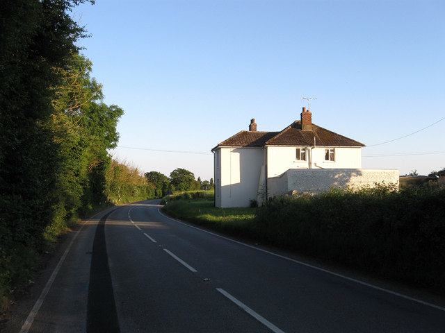
Image: © Simon Carey Taken: 30 May 2009
Currently an unclassified road but there are ongoing battles with West Sussex County Council who wish to turn it into a new A road, probably the A2700. It has been designated that before but has since been withdrawn with the local roadsigns having this information obscured or removed. Currently a rat run for those living in the western suburbbs of Worthing.
Images are licensed for reuse under creativecommons.org/licenses/by-sa/2.0
Image Location
Latitude
50.82809
Longitude
-0.434539