Clapham Common
Introduction
The photograph on this page of Clapham Common by Simon Carey as part of the Geograph project.
The Geograph project started in 2005 with the aim of publishing, organising and preserving representative images for every square kilometre of Great Britain, Ireland and the Isle of Man.

There are currently over 7.5m images from over 14,400 individuals and you can help contribute to the project by visiting https://www.geograph.org.uk
Clapham Common
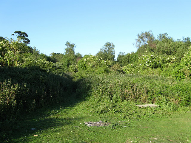
Image: © Simon Carey Taken: 30 May 2009
The former common was enclosed in 1812 and is located between the village and the current A27, part is wooded the rest seems to be scrub and waste. This part is near the crossroads of footpaths that run across the common.
Images are licensed for reuse under creativecommons.org/licenses/by-sa/2.0
Image Location
Latitude
50.84119
Longitude
-0.445748