Payhembury: north east to Hembury fort
Introduction
The photograph on this page of Payhembury: north east to Hembury fort by Martin Bodman as part of the Geograph project.
The Geograph project started in 2005 with the aim of publishing, organising and preserving representative images for every square kilometre of Great Britain, Ireland and the Isle of Man.

There are currently over 7.5m images from over 14,400 individuals and you can help contribute to the project by visiting https://www.geograph.org.uk
Payhembury: north east to Hembury fort
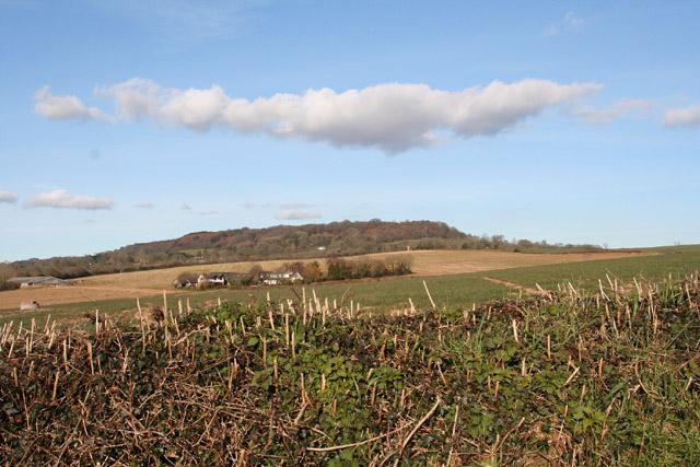
Image: © Martin Bodman Taken: 6 Mar 2006
With houses at Rull in mid distance. Hembury was an Iron Age fort which was later utilised by the Roman army under Vespasian
Images are licensed for reuse under creativecommons.org/licenses/by-sa/2.0
Image Location
Latitude
50.807067
Longitude
-3.283352