Gatcombe Brook valley
Introduction
The photograph on this page of Gatcombe Brook valley by Derek Harper as part of the Geograph project.
The Geograph project started in 2005 with the aim of publishing, organising and preserving representative images for every square kilometre of Great Britain, Ireland and the Isle of Man.

There are currently over 7.5m images from over 14,400 individuals and you can help contribute to the project by visiting https://www.geograph.org.uk
Gatcombe Brook valley
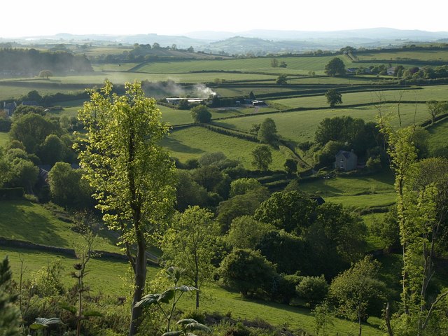
Image: © Derek Harper Taken: 24 May 2009
Seen from the edge of East Hill Wood. The buildings are Netherton and Gatcombe are tucked into the valley sides. Just beyond the smoke is the line of the A381.
Images are licensed for reuse under creativecommons.org/licenses/by-sa/2.0
Image Location


Leaflet Map data © OpenStreetMap
Latitude
50.451397
Longitude
-3.659241