Brixham Harbour
Introduction
The photograph on this page of Brixham Harbour by Mike Crowe as part of the Geograph project.
The Geograph project started in 2005 with the aim of publishing, organising and preserving representative images for every square kilometre of Great Britain, Ireland and the Isle of Man.

There are currently over 7.5m images from over 14,400 individuals and you can help contribute to the project by visiting https://www.geograph.org.uk
Brixham Harbour
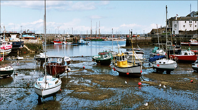
Image: © Mike Crowe Taken: 10 Oct 2003
A general view of the harbour, looking towards the ferry dock and the marina beyond.
Images are licensed for reuse under creativecommons.org/licenses/by-sa/2.0
Image Location


Leaflet Map data © OpenStreetMap
Latitude
50.395839
Longitude
-3.512381