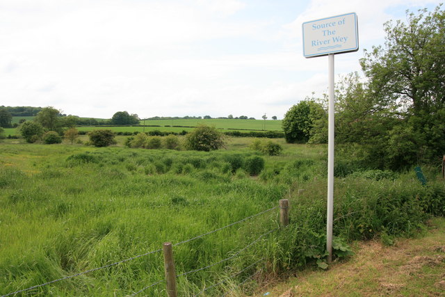
Source of the River Wey (North Branch)
Introduction
The photograph on this page of Source of the River Wey (North Branch) by Paul E Smith as part of the Geograph project.
The Geograph project started in 2005 with the aim of publishing, organising and preserving representative images for every square kilometre of Great Britain, Ireland and the Isle of Man.
There are currently over 7.5m images from over 14,400 individuals and you can help contribute to the project by visiting https://www.geograph.org.uk

Image: © Paul E Smith Taken: 25 May 2009
This is one of the recognised sources of the River Wey at Alton, however the Wey has two branches which converge at Tilford. This North branch has other tributaries including the farther-reaching Caker Stream, while the South branch is widely agreed to start on Black Down south of Haslemere, but is also fed by streams emanating from near Hindhead, Nutcombe and Waggoners Wells.

