North Street, Rugby
Introduction
The photograph on this page of North Street, Rugby by Robin Stott as part of the Geograph project.
The Geograph project started in 2005 with the aim of publishing, organising and preserving representative images for every square kilometre of Great Britain, Ireland and the Isle of Man.

There are currently over 7.5m images from over 14,400 individuals and you can help contribute to the project by visiting https://www.geograph.org.uk
North Street, Rugby
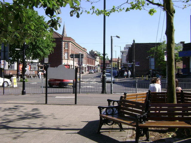
Image: © Robin Stott Taken: 30 May 2009
Looking up the street from near Caldecott Park gates and the Town Hall. The Clock Tower is just visible left of centre.
Images are licensed for reuse under creativecommons.org/licenses/by-sa/2.0
Image Location


Leaflet Map data © OpenStreetMap
Latitude
52.373451
Longitude
-1.26405