Field boundary near Lorbottle
Introduction
The photograph on this page of Field boundary near Lorbottle by Oliver Dixon as part of the Geograph project.
The Geograph project started in 2005 with the aim of publishing, organising and preserving representative images for every square kilometre of Great Britain, Ireland and the Isle of Man.

There are currently over 7.5m images from over 14,400 individuals and you can help contribute to the project by visiting https://www.geograph.org.uk
Field boundary near Lorbottle
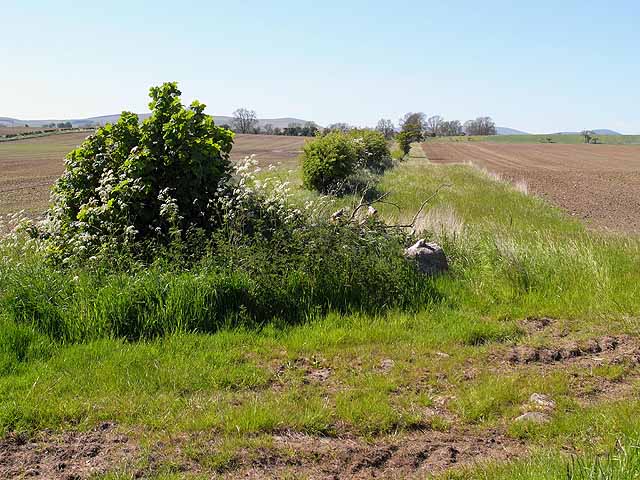
Image: © Oliver Dixon Taken: 30 May 2009
A broad headland has been left between the hedgerow and the ploughed field.
Images are licensed for reuse under creativecommons.org/licenses/by-sa/2.0
Image Location
Latitude
55.352962
Longitude
-1.956759