St Andrew's House, Oakwood Hospital, St Andrew's Road, Maidstone, Kent
Introduction
The photograph on this page of St Andrew's House, Oakwood Hospital, St Andrew's Road, Maidstone, Kent by Oast House Archive as part of the Geograph project.
The Geograph project started in 2005 with the aim of publishing, organising and preserving representative images for every square kilometre of Great Britain, Ireland and the Isle of Man.

There are currently over 7.5m images from over 14,400 individuals and you can help contribute to the project by visiting https://www.geograph.org.uk
St Andrew's House, Oakwood Hospital, St Andrew's Road, Maidstone, Kent
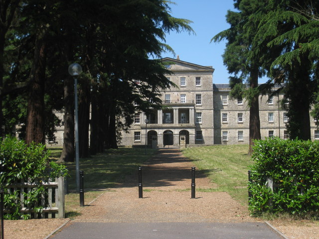
Image: © Oast House Archive Taken: 1 Jun 2009
Former lunatic asylum established in 1833. It was derelict from the 1990's until around 2001 when it was converted to apartments. http://en.wikipedia.org/wiki/Oakwood_Hospital Grade II listed.
Images are licensed for reuse under creativecommons.org/licenses/by-sa/2.0
Image Location
Latitude
51.268922
Longitude
0.485267