Maryville Street, Belfast
Introduction
The photograph on this page of Maryville Street, Belfast by Albert Bridge as part of the Geograph project.
The Geograph project started in 2005 with the aim of publishing, organising and preserving representative images for every square kilometre of Great Britain, Ireland and the Isle of Man.

There are currently over 7.5m images from over 14,400 individuals and you can help contribute to the project by visiting https://www.geograph.org.uk
Maryville Street, Belfast
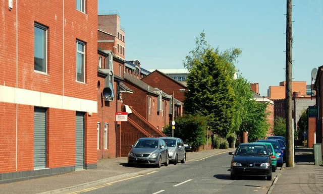
Image: © Albert Bridge Taken: 31 May 2009
Maryville Street still runs from Donegall Pass Image to Ormeau Avenue Image but was re-built in the 80’s with a mix of public and private-sector houses and apartments. The view is from Conduit Street on the other side of Donegall Pass. Continue to Image
Images are licensed for reuse under creativecommons.org/licenses/by-sa/2.0
Image Location
Latitude
54.590678
Longitude
-5.93041