St Albans: The Abbey Flyer line
Introduction
The photograph on this page of St Albans: The Abbey Flyer line by Nigel Cox as part of the Geograph project.
The Geograph project started in 2005 with the aim of publishing, organising and preserving representative images for every square kilometre of Great Britain, Ireland and the Isle of Man.

There are currently over 7.5m images from over 14,400 individuals and you can help contribute to the project by visiting https://www.geograph.org.uk
St Albans: The Abbey Flyer line
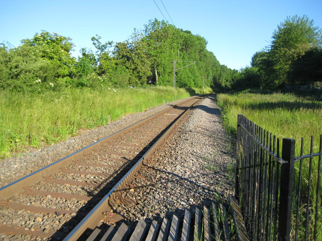
Image: © Nigel Cox Taken: 29 May 2009
The London & North Western Railway built their line from Watford Junction to St Albans in 1858. This is the route viewed from Image The train is known locally as the Abbey Flyer.
Images are licensed for reuse under creativecommons.org/licenses/by-sa/2.0
Image Location
Latitude
51.740922
Longitude
-0.336422