Kingholm Quay
Introduction
The photograph on this page of Kingholm Quay by Oliver Dixon as part of the Geograph project.
The Geograph project started in 2005 with the aim of publishing, organising and preserving representative images for every square kilometre of Great Britain, Ireland and the Isle of Man.

There are currently over 7.5m images from over 14,400 individuals and you can help contribute to the project by visiting https://www.geograph.org.uk
Kingholm Quay
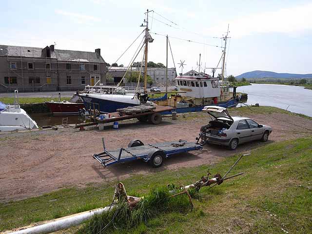
Image: © Oliver Dixon Taken: 25 May 2009
A small dock on the Nith estuary a short way downstream from Dumfries. Criffel Image can be seen in the distance on the other side of the estuary.
Images are licensed for reuse under creativecommons.org/licenses/by-sa/2.0
Image Location
Latitude
55.046558
Longitude
-3.606081